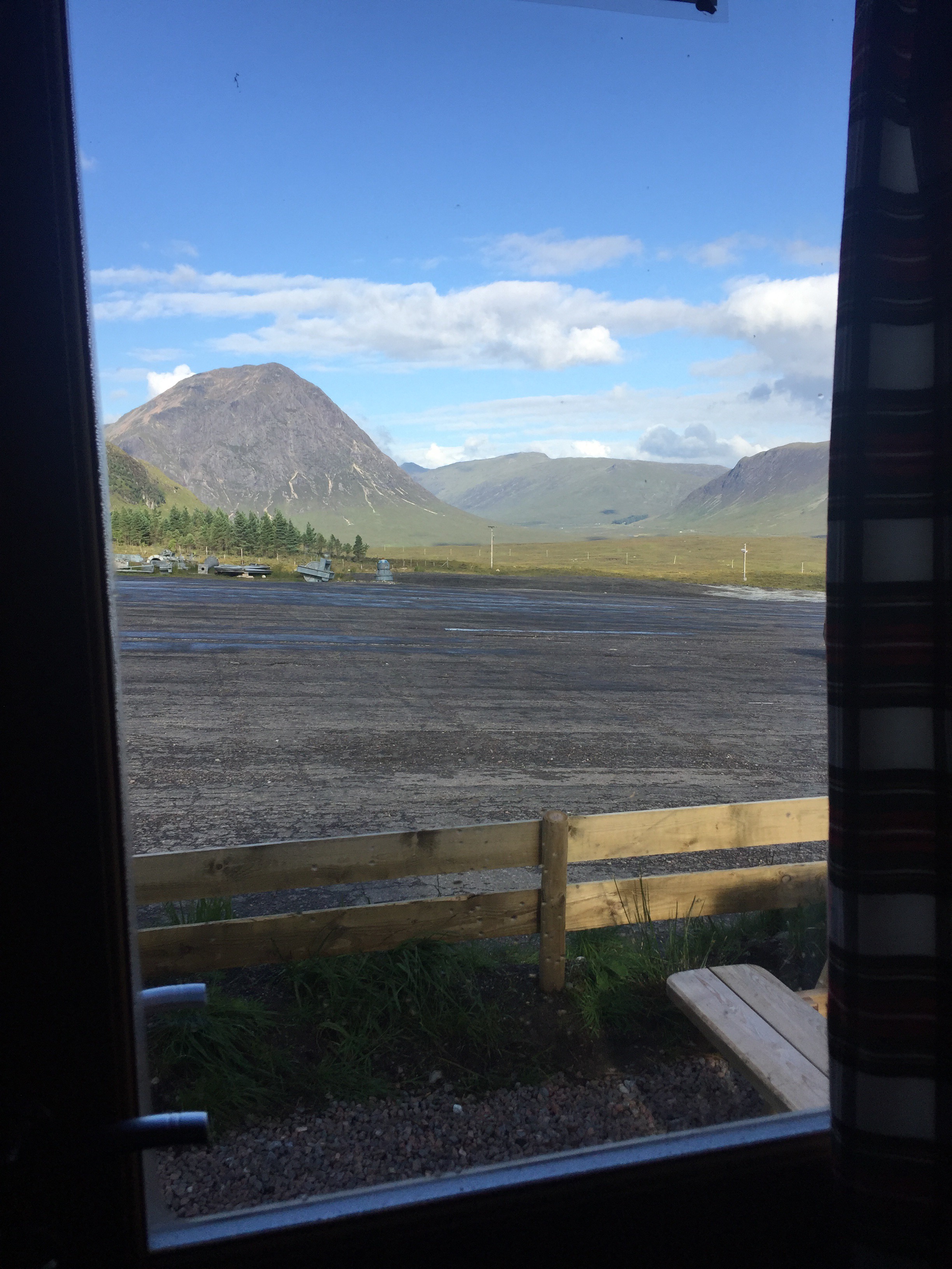
Fort William
I spent 3 days in Fort William. Throughout planning this trip I was never sure which route I was going to take from there; west coast/central or east coast. I had gotten a sense over the past few weeks that I wanted to tackle the highlands, plus if I went east there would be a lot of road walking which I think would be an anticlimax.
So I had to; purchase the maps and subsequently plan and study the route, plan, purchase, organise and post my food supplies, and purchase and register a personal locator beacon (PLB). It’s an SOS device so that if the proverbial hits the fan and there is no mobile signal, then I can press a button which will send a signal using satellites to the emergency services who then, knowing my location can coordinate a response. It’s like an insurance policy, hopefully I’ll never need to use it but I’ll carry it with me for years to come when out in the hills.
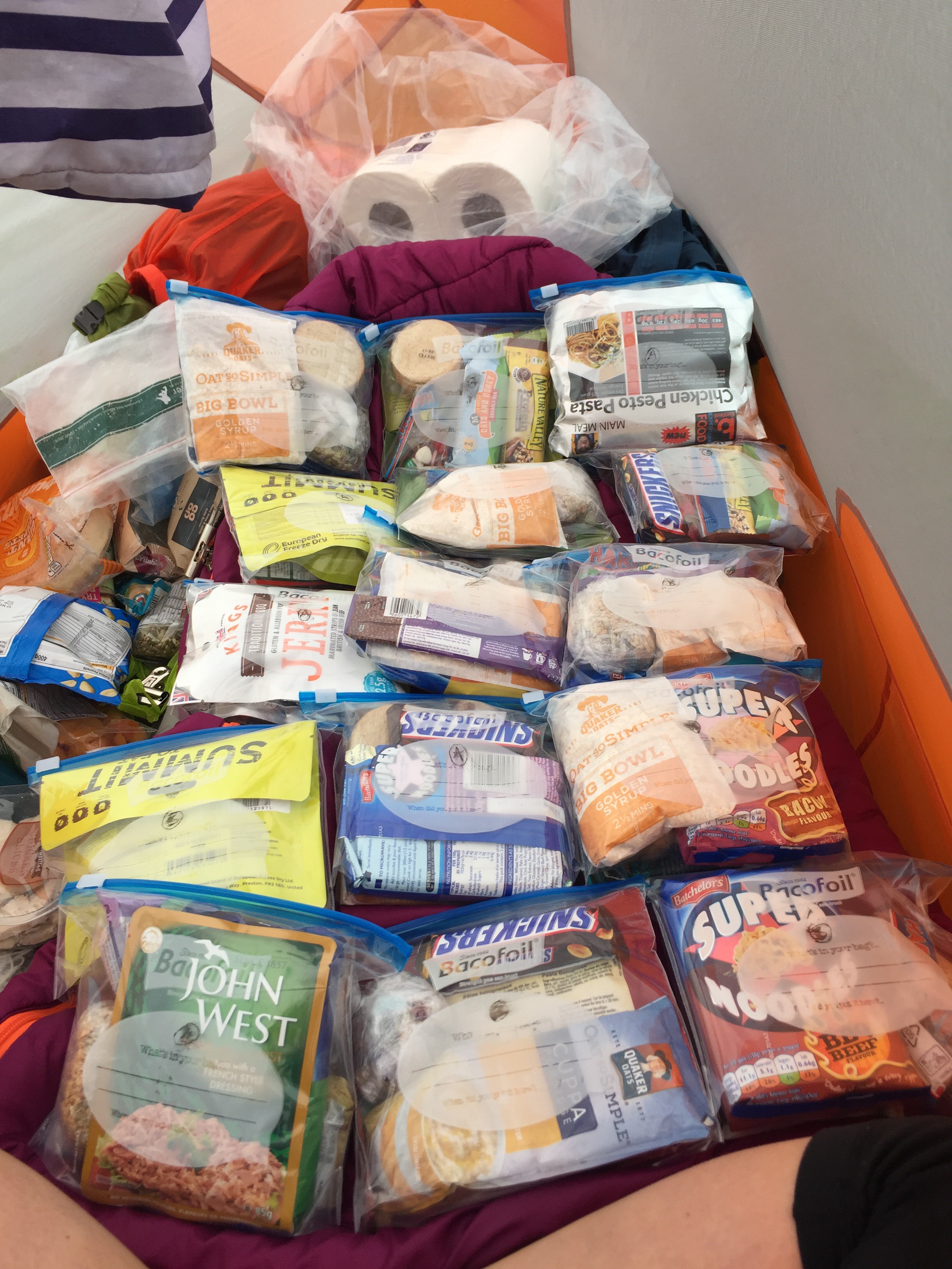
Food parcels
- Day: 83 – Thursday 17th August
- Started at: Fort William
- Finished at: Gairlochy
- Miles: 11
- Miles from LE: 996
- Duration: 5hrs (10:30-15:30)
- Trig points visited: 0
- Ales imbibed: 0
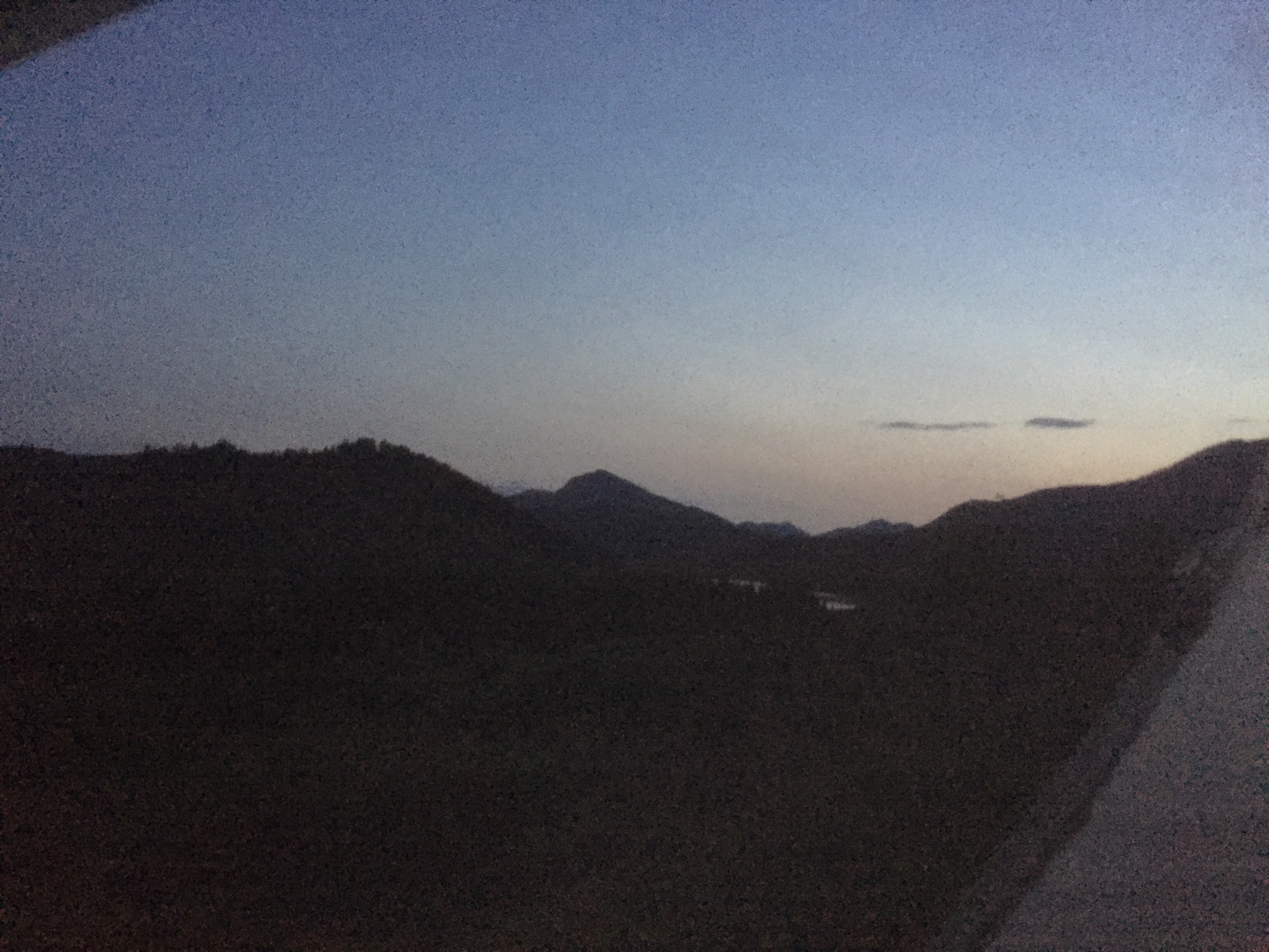
So with a 3 week day-by-day plan, a PLB, food parcels posted and some replacement kit for bits that have been worn and torn, I set off on the final stage. Just 250 miles to go, but with the small matter of the highlands standing in my way! The last stage starts surprisingly gently upon the Great Glen Way which leads all the way to Inverness. For the bulk of today I walked along the Caledonian Canal and you probably know by now I dislike towpaths. The two features which stuck out were Neptune’s Staircase (a flight of 9 locks) and the Moy bridge (an old swivel bridge, still manually operated). Other than that it was a towpath. The hills on either side were quite spectacular but were often cloud covered or else I was blinkered by my hood, as the showers passed through with high frequency.
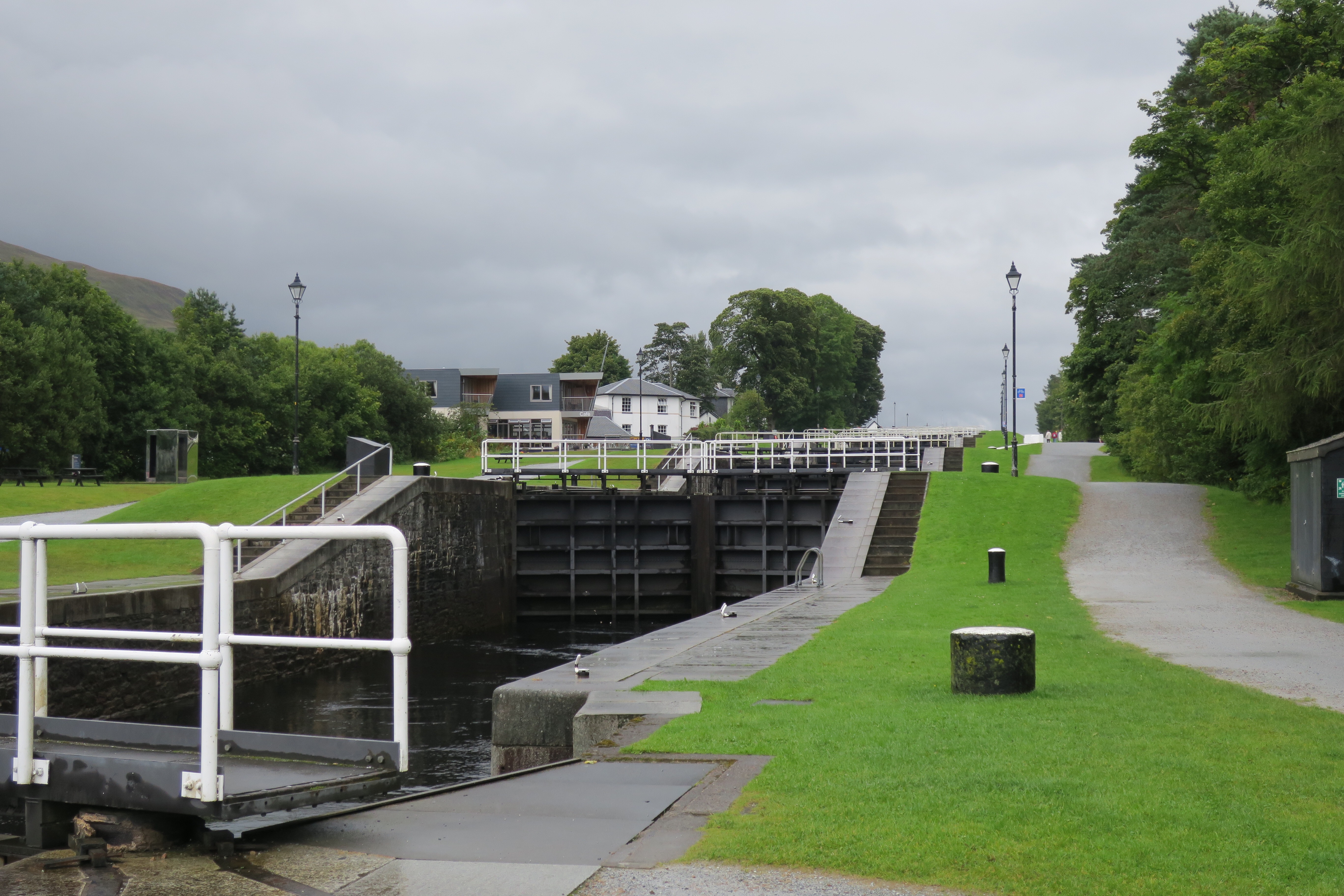
Neptune’s Staircase
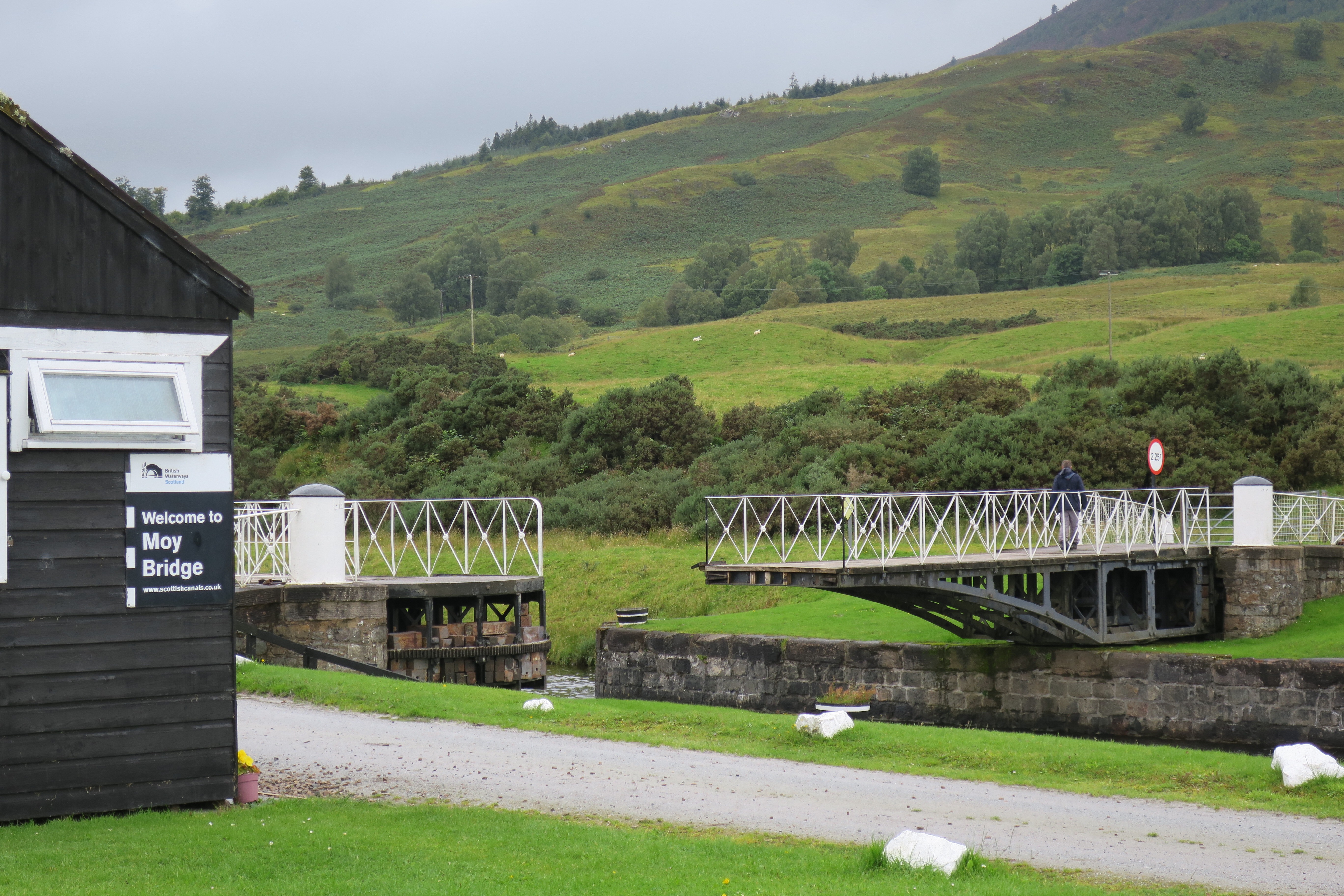
Moy bridge
I reached Gairlochy in good time and paused for thought. Should I forego the campsite at Gairlochy and continue on for a few miles and wild camp? I decided that as facilities would be scarce over the coming few weeks that I would take the opportunity as it was there. It continued to rain on and off over the course of the evening but there was a brief break in the cloud.
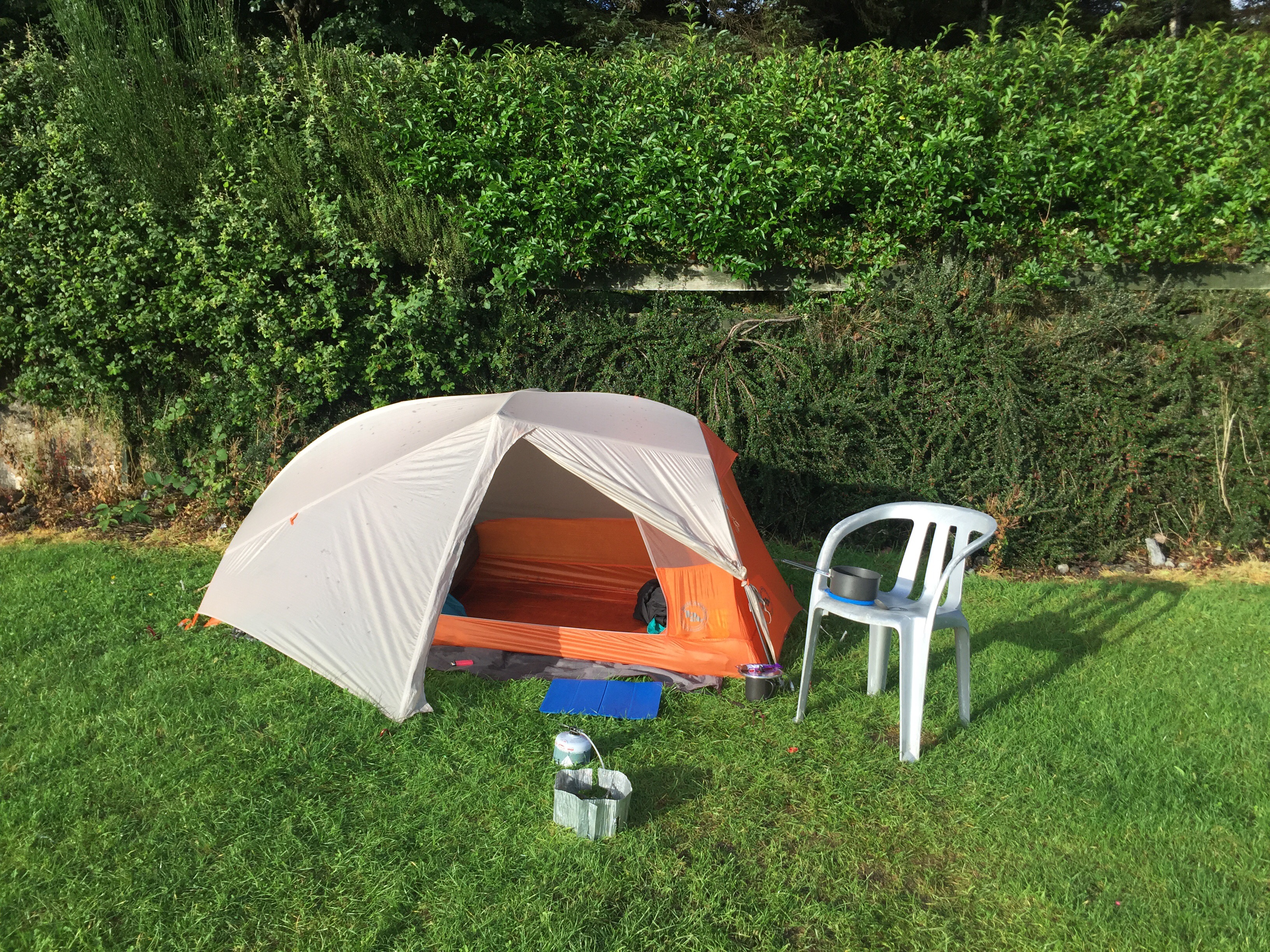
Tent in the evening sun
Gairlochy
On Friday, I woke up nice and early to get cracking on what was due to be a long day (possibly the longest in miles of the trip so far). The rain was hammering down on my tent and after some thought I decided to let the rain pass, I could always walk until quite late, as it stays light until around 10pm up here. By 10:30 the rain had still not passed. A five minute walk up the road I could find a signal and the weather forecast was for persistent rain for the rest of the day and it was due to be worse on Sunday. I was in a quandary as to what to do. I could just ‘woman-up’ and head out into the foul weather, but for my first full day out in the proper hills I would rather not have to battle with the elements too. If I stayed put for the rest of the day and the next I would need to eat into my carefully planned ration packs. The nearest shop was in Spean Bridge – 3 miles away.
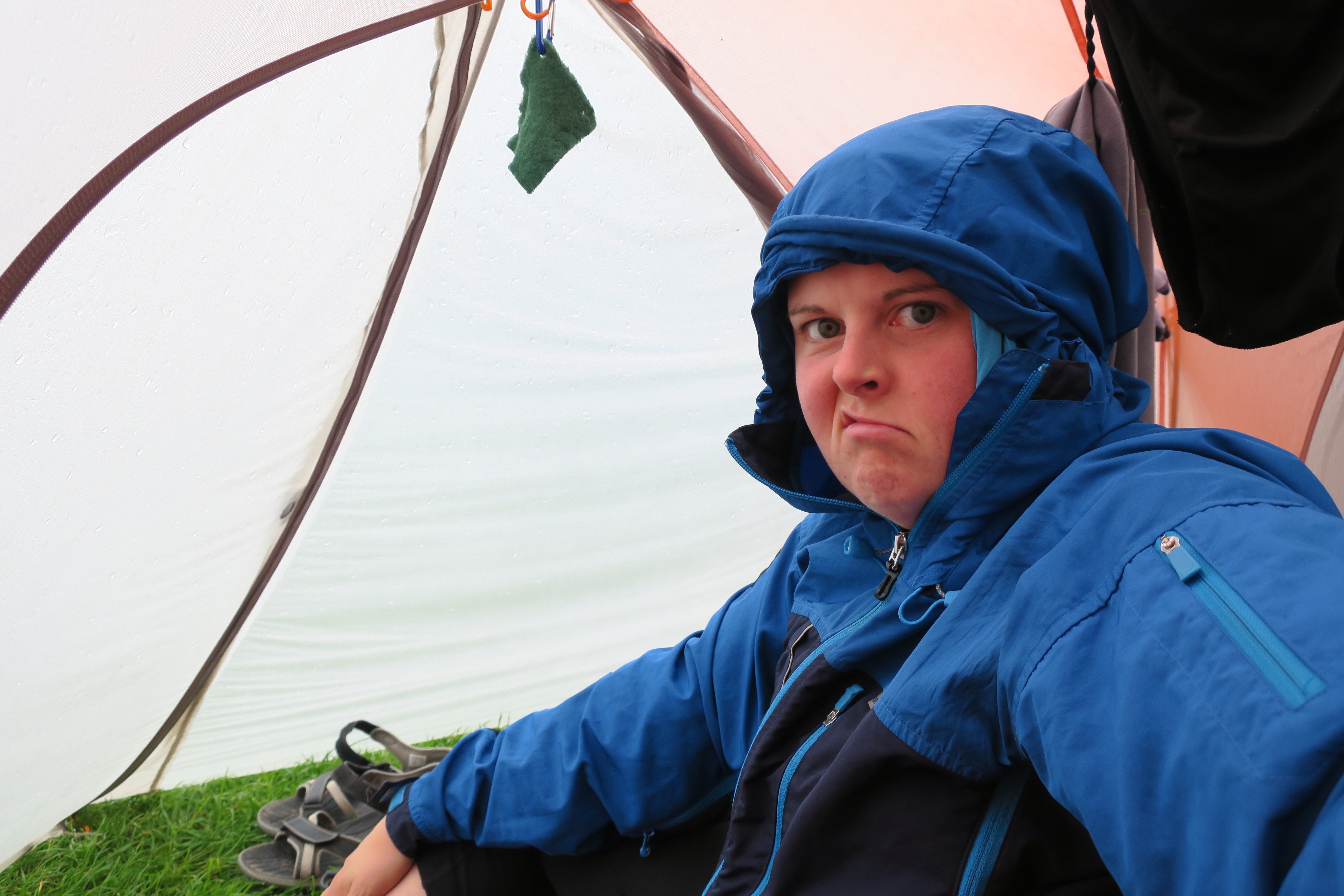
Miffed by the rain
I decided to stay for the day and the next and so needed food. I started out on the 3 mile walk along the road and after just 100m a lovely old lady who runs a nearby B&B stopped and offered me a lift. She’d already got one of her guests in the passenger seat, and as I learnt, she offers to pick up anyone she sees, even a schizophrenic – much to the concern of her family – but she’s never come to any harm. She said she’d be coming back through in about 4 hours time and if she saw me walking back she’d pick me up. Well unfortunately our return journeys didn’t coincide but as the rain had paused briefly I didn’t mind. So I sat/lay/slept/ate/read/did crosswords/listened to music and listened to the rain pound against my tent for a further 40ish hours. Gairlochy will also go down in my memory as the place where a pair of my knickers went missing from the laundry room, who knows where they’ve gone but it now means I’m a 2 pair lady for the rest of the trip. On the plus side, I guess my bag is slightly lighter.
- Day: 84 – Sunday 20th August
- Started at: Gairlochy
- Finished at: Loch Poulary, Glen Garry
- Miles: 20
- Miles from LE: 1016
- Duration: 12hrs (8:00-20:00)
- Trig points visited: 0
- Ales imbibed: 0
I was frustrated by the delay but by Sunday morning the rain had cleared. I set off towards Glen Garry and I was rewarded for my patience. Loch Lochy was like a millpond and the sun shone on the hills which reflected on the waters – it looked more like New Zealand than Blighty.
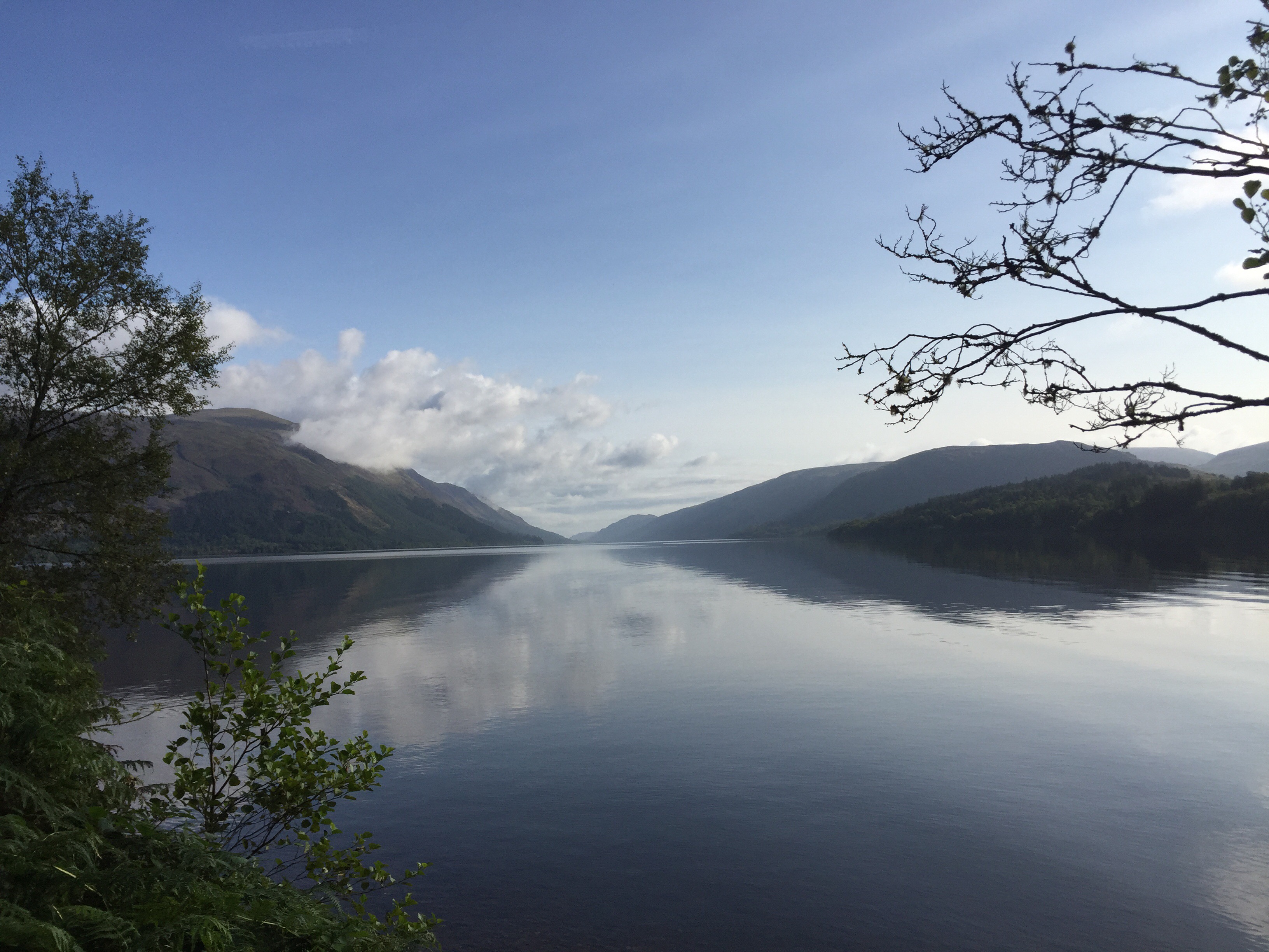
Loch Lochy
I reached Achnacarry which was the home of the Commando training centre when Churchill commissioned the unit in 1942. They endured the toughest training in all the conditions that the Highlands could throw at them and after 6 weeks they left with their well earned green berets. It’s also the home of the Cameron Clan. Finally, for me it will always be the spot where I reached the 1000 mile mark. “I would walk 500 miles and I would walk 500 more…”.

Clan Cameron museum – 1000miles!
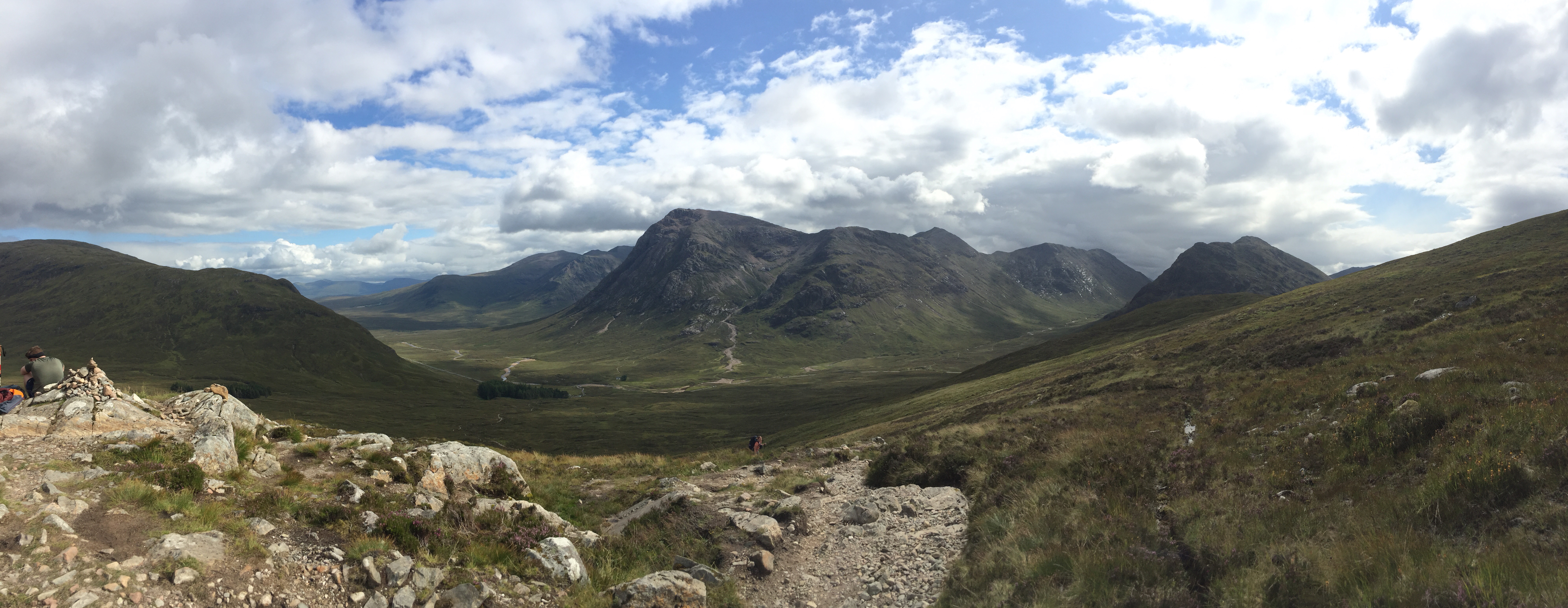
From Achnacarry the walk took on a very different feel and I didn’t see a single soul until the very end of the day. Firstly was a stiff climb initially alongside some dramatic waterfalls then through felled forestry. When I reached the end of the forest I stopped for some lunch and midges descended – typical! – so I decided to keep going for a while longer. Further on the situation was no different, so I ate lunch from under a midge net, which is a bit of a challenge.
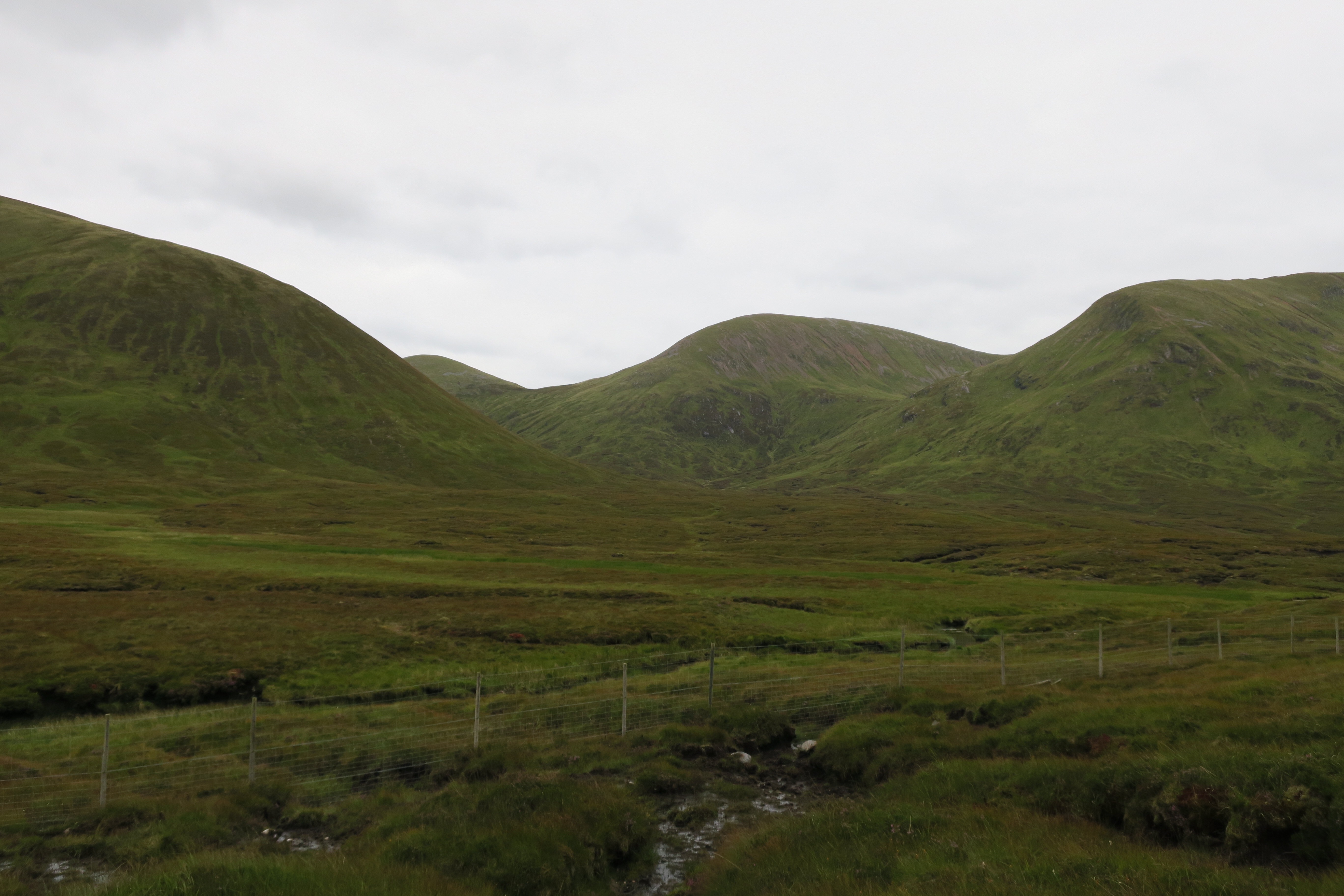
View from Teang’ a’ Choire Odhair
Then was the start of 2.5 miles of pathless peat hags which quickly put my new waterproof socks to the test – which they passed, for the moment. It was tough going but I was feeling triumphant when I reached the end – although the situation on the ground was different from the guidebook. A new fence with an 8 foot locked gate was the first obstacle which was easily climbed and then a torn up landscape lay ahead of me. I eventually found the forestry track and thought that compared to the peat, the rest of the day would be a breeze, how wrong was I! I ended up in a nightmare section of felled trees which made for much harder terrain and the instability of the ground verged on scary.
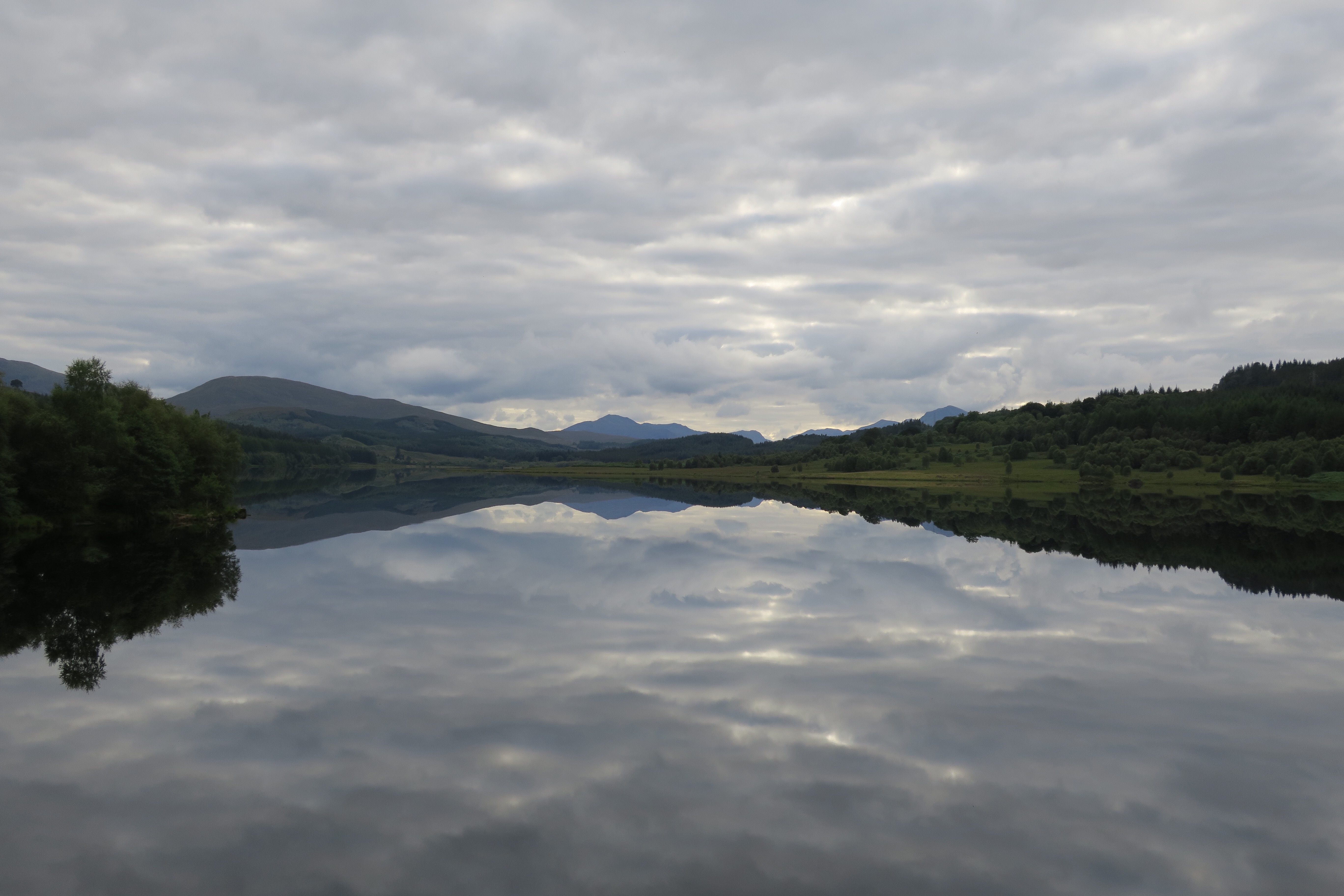
Loch Garry – another mirror
When I got to the road I was tired and my waterproof socks had also given up against the boggy forest (although they eventually failed, they are great and far superior to my regular socks, especially since my boots now sport holes). I was planning to camp about 3 miles down the road but decided that if I found a suitable spot before then I would stop. I was also all out of water and having been fording lovely fresh highland streams all day there was now a lack of them – typical. I was just filling up at a slightly slow roadside brook when a dog walker appeared and made me jump. Seeing where I had just acquired my water from he offered me his tap at home. I took John up on the offer and was soon on my way again. There were no suitable camping areas so I ended up where I had planned and found a fantastic location – the best you’ll get. An area of flat grass overlooking a loch. After I’d unloaded my bag a dark cloud descended – it was a cloud of midges. It was like a plague. I turned round and my arm was black. Smidge was applied copiously and the head net went on but neither of which stopped me throwing a continuous paddy. After some chaotic but quick decision making I was in my tent with my rucksack, dinner rehydrating and about 100-200 midges. I spent the next 30mins squishing them all in between mouthfuls of dinner.
View from tent – thru the midge net